Trail Length: 1 mile.
Location: 197° and 8.6 miles from Cascade Idaho
Elevation: 7323'
GPS Coordinates: 44.4098 -116.135
Difficulty: Easy to Moderate.
Access: Take Cabarton Road (south end of Cascade) for about 6.3 miles until you come to a large red barn where Cabarton Road intersects with Snowbank Road #446 (closed Nov. 16 –May 31). Turn right onto Snowbank Road #446 (sign indicating Blue Lake 10 miles) follow #446 to within 2 miles of the Federal Radar Site. You can see Blue Lake to the south. There is a large parking area at the Blue Lake Trail #119 trailhead. Off to your right you will see a small body of water named Potters Pond. There are several areas near the trailhead for camping and most will accommodate equestrian use.
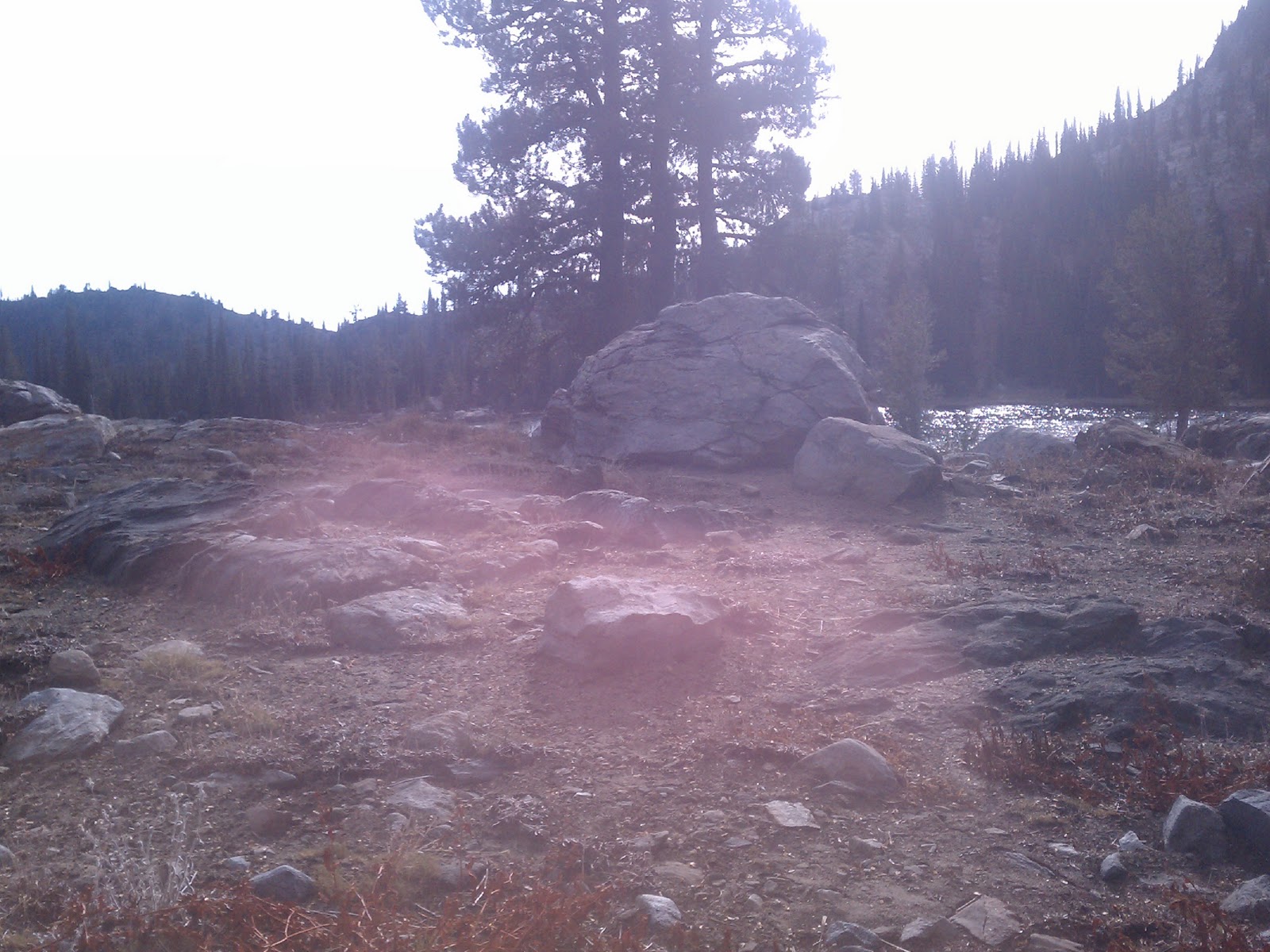
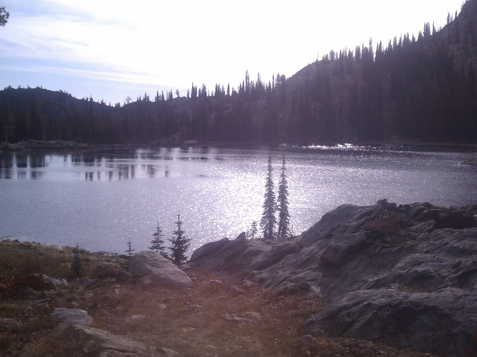
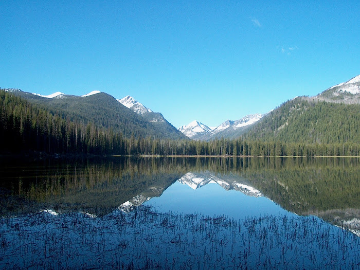
Description: This is an easy part-day or overnight hike into one of Idaho’s pristine mountain lakes. While there is no question you’re in the high country, it is a hike even young children can enjoy. Fishing is a favorite activity at Blue Lake with lots of easy shore access. The trail into Blue Lake is very easy to follow, and even has wooden bridges to help you cross boggy areas without getting your feet wet. The trail levels out midsection, meandering through meadows filled with wildflowers. There are several stream crossings and, depending on the time of year, occasional waterfalls cascade down the hillsides.