Trip:
The White Cloud Mountains are part of the Rocky Mountains and are located southeast of Stanley, Idaho. The range is located within the Sawtooth National Recreation Area (SNRA) and the area is proposed as the "White Cloud-Boulder Wilderness Area."
Our plan for the trip for to head south from Stanley on Hwy. 75 (approx. 14 miles) to the Fourth of July Creek Rd. turnoff. Head east on the turnoff for about ten miles to the trailhead. We got a much later start than we had planned. Our fall trips typically include Doug and Jay, however Doug backed out this year and Jay was a "maybe" up until the last minute. We reached the trailhead very late in the day and decided to stay the first night at Fourth of July Lake.
On day 2 we packed up and made our way up to Ants Basin and then descended down to the Born Lakes where we spent our second night. On day 3 we hiked back the way we came and headed back to the trailhead.
Our first thoughts were to extend the trip past the Born Lakes and venture over to Quiet and Noisy Lakes, but due to the high elevation gains and the need to cross over Devils Pass we opted out and planned to save that for another trip
New Gear:
In the words of Jay Becker
"It wouldn't be a trip with the McCain boys without a cool grand in new gear."
Brad: This was Brad's first trip with all his new hammock gear. I think we have a new convert, no more ground dwelling for him.
Hammock: Sewn by me
For me: Typically when we go on trips I make my way over to REI or the Benchmark and use the National Geographic machine and make my self a custom map. One slight problem however, NG has abandoned those machines in an effort to get you to purchase their software. Luckily I had an REI voucher from when I returned my Neoair and was able to buy some new software. I decided to go with the
Garmin software rather than NG; I currently own a Garmin GPS and plan to replace it in the near future with a Garmin as well.
I couldn't have been more pleased with the software, it was very intuitive and worked great on my Mac. I have added the map that I created for this trip below (which I printed out on
NG's waterproof map paper.)
 |
| Fourth of July Creek Rd. |
 |
Although the mileage is low, don't let this sign fool
you. This is not an easy trip. |
 |
| Trailhead readings, notice the elevation. |
 |
| Using a "Stickpic" on my trekking pole for photos. |
 |
| Bridge over Fourth of July Creek. |
 |
| Travel time: 1 hr., gain of over 600'. |
 |
| Morning of day 2, Brad's new Alite chair in the background. |
 |
| Brad's set up. |
 |
| My set up. |
 |
| Deer in this area had no fear at all of people. |
 |
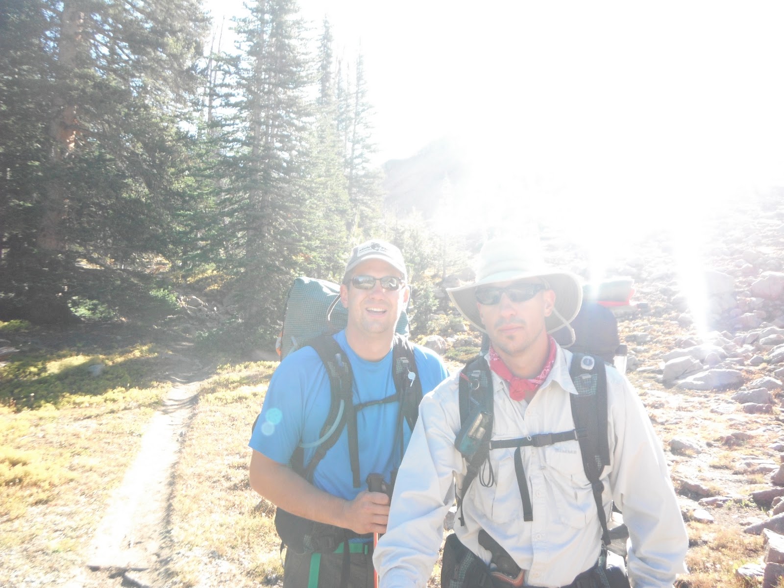
| Day 2 on our way to The Born Lakes. |
 |
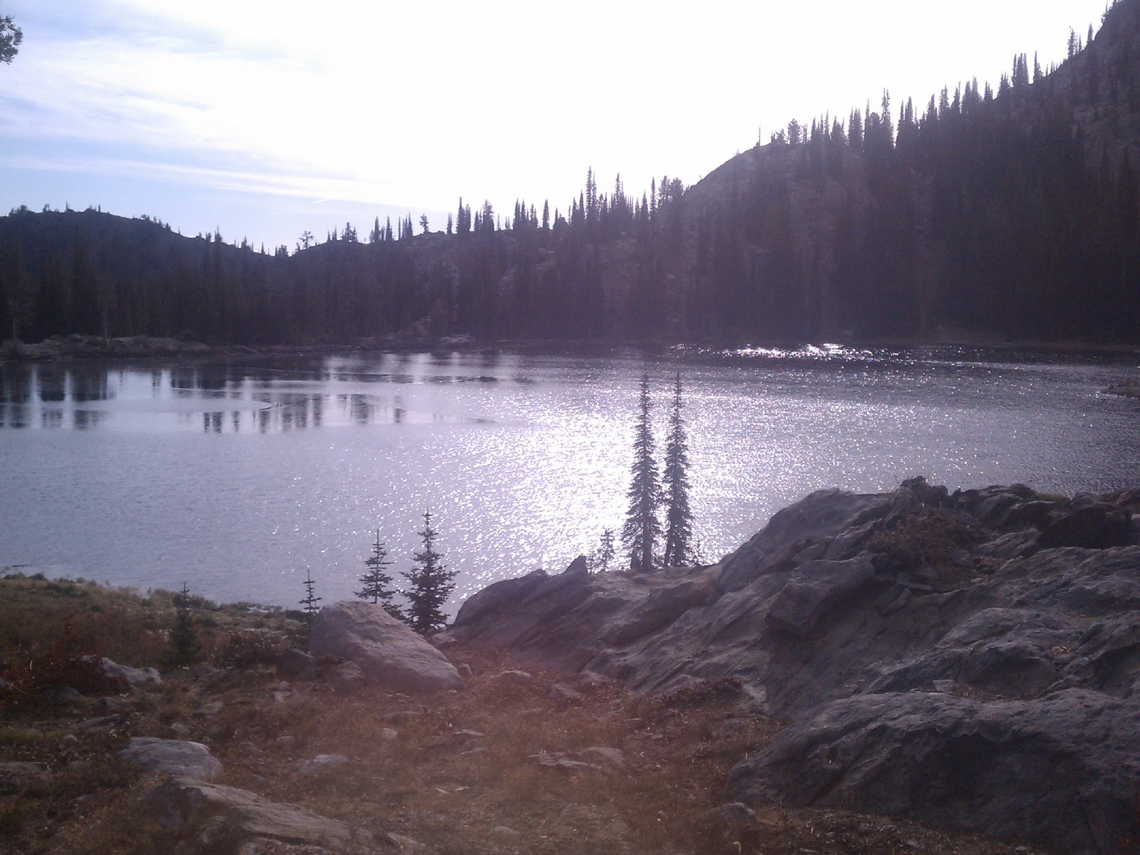
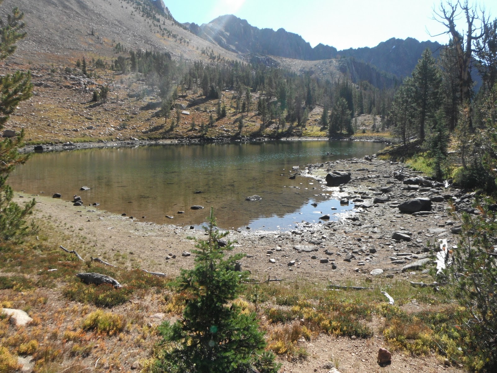
| Small Washington Lake. |
 |
| Attempt at a panoramic photo. |
 |
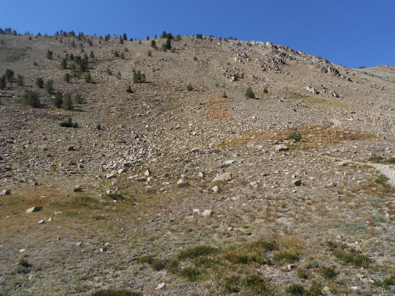
| The top of Ants Basin. |
 |
| Looking up at Ant's Basin. |
 |
| Trail to The Born Lakes. |
 |
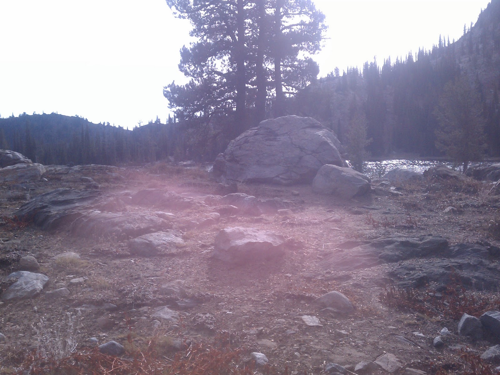
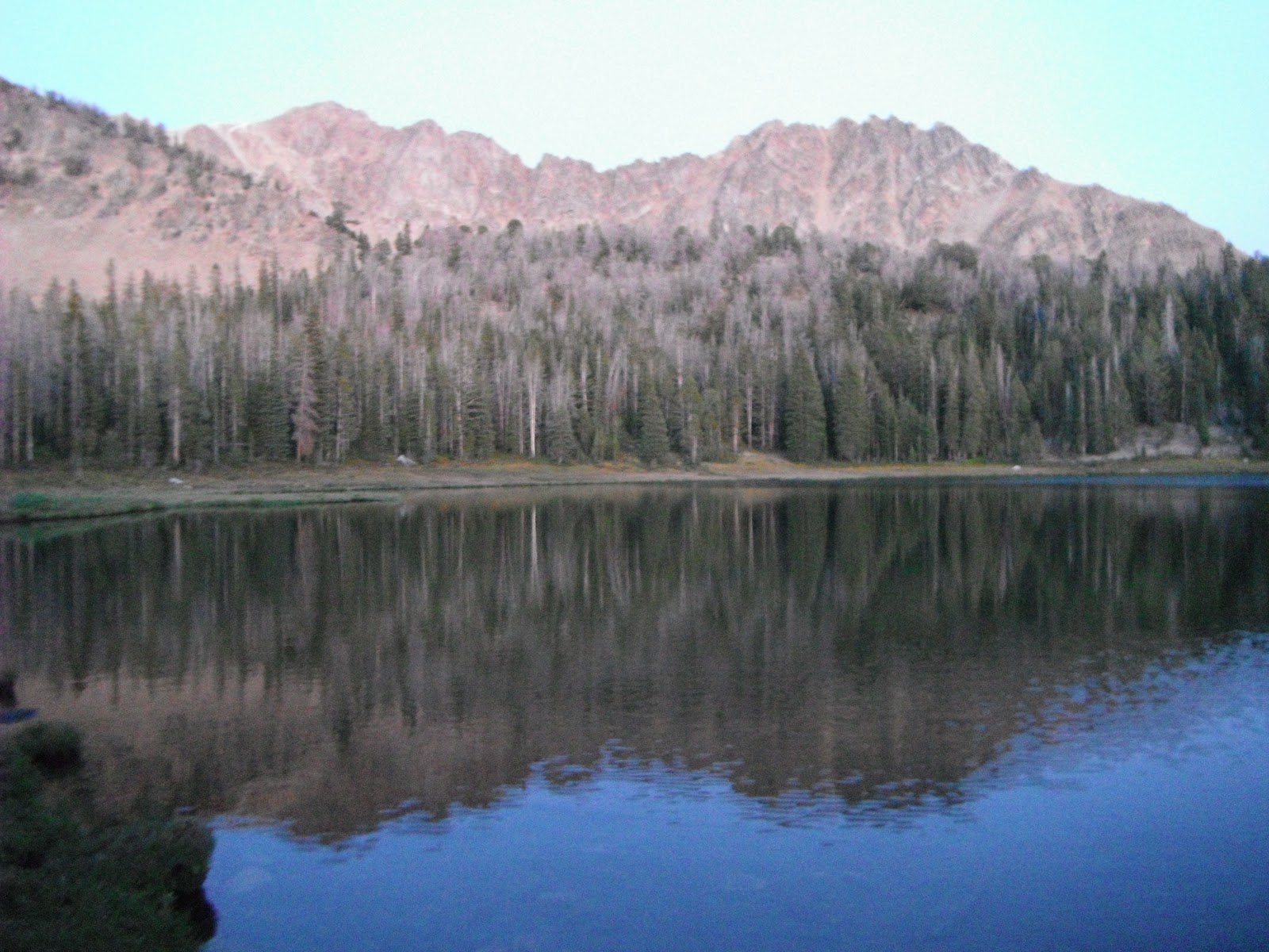
| The Born Lakes sit in the bowl at the base of these peaks. |
 |
| Elevation here is roughly the same as Fourth of July Lake. |
 |
| Skies looked clear so we decided on sans tarps. |
 |
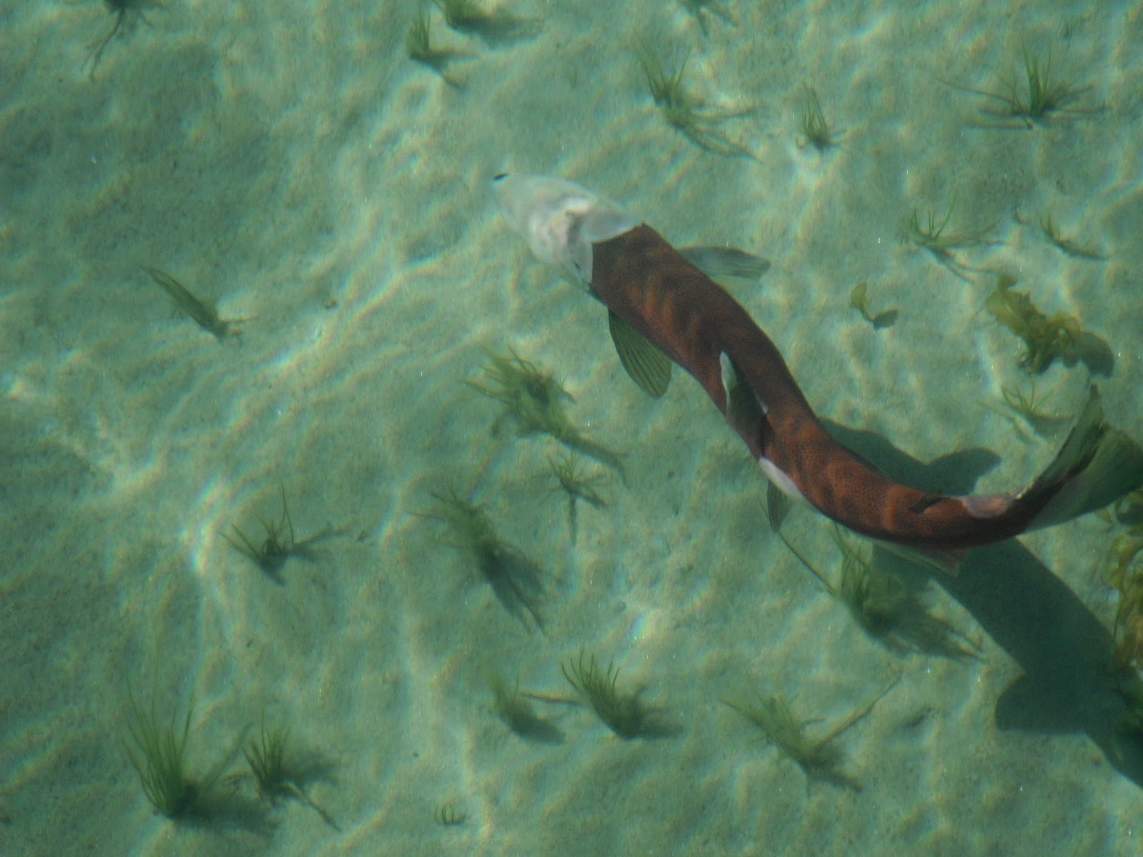
The one and only fish caught on this trip,
by me of course! |
 |
Brad balancing in his Alite Monarch chair. Weighs in
at right around 18 oz. He loved it. |
 |
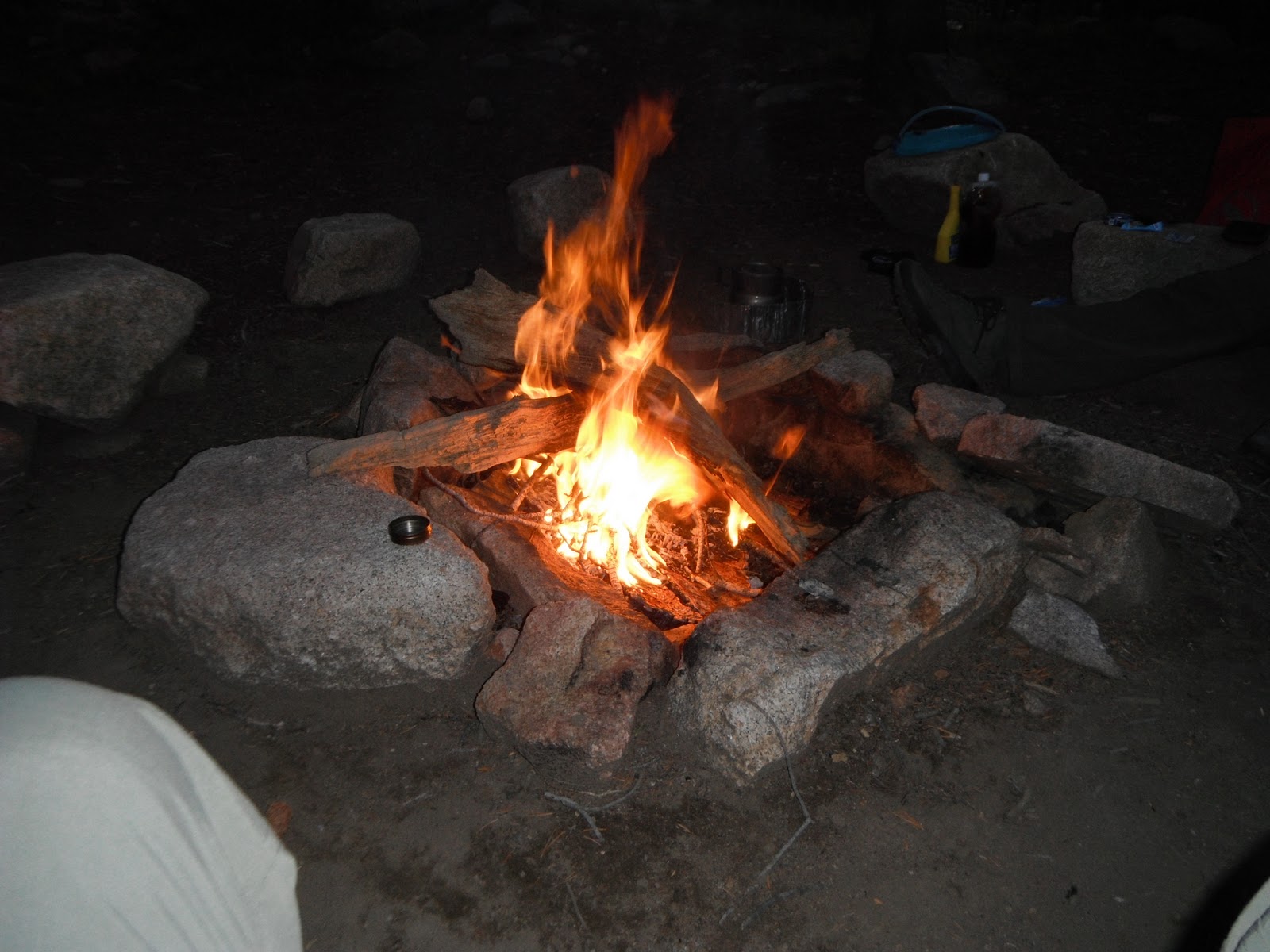
| Thankful to have firewood on night 2. |
 |
Heading back to the trailhead on day 3. Took an hour to
get to the top of Ants Basin and another hour plus back to
the trailhead. |
 |
| Small Washington Lake. |
 |
| Almost back to Hwy. 75. |
 |
| We would have been in serious trouble without a spare. |
 |
| As you can see I am doing most of the work. |
 |
| Too early in the day to head home so.......................... |
 |
We decided to spend the afternoon at Redfish. We had lunch
and sat on the dock smoking cigars and kissing whisky.
Oh and listening to Jamey Johnson. |
 |
Took photos of the sign for future trip prep, this sign shows
the times for the transfer boat. |
 |
First time I have ever seen fish in the shallows near
the lodge. |
 |
| Red Fish in Red Fish. |
 |
Apparently bears are a real problem everywhere this year.
This poor guy left some food in the back of his truck.
He was parked at the trailhead near the lodge. |
Until the next time......................